IB Geography Fieldwork Camp 2015
Geography IB Fieldwork Camp 3A
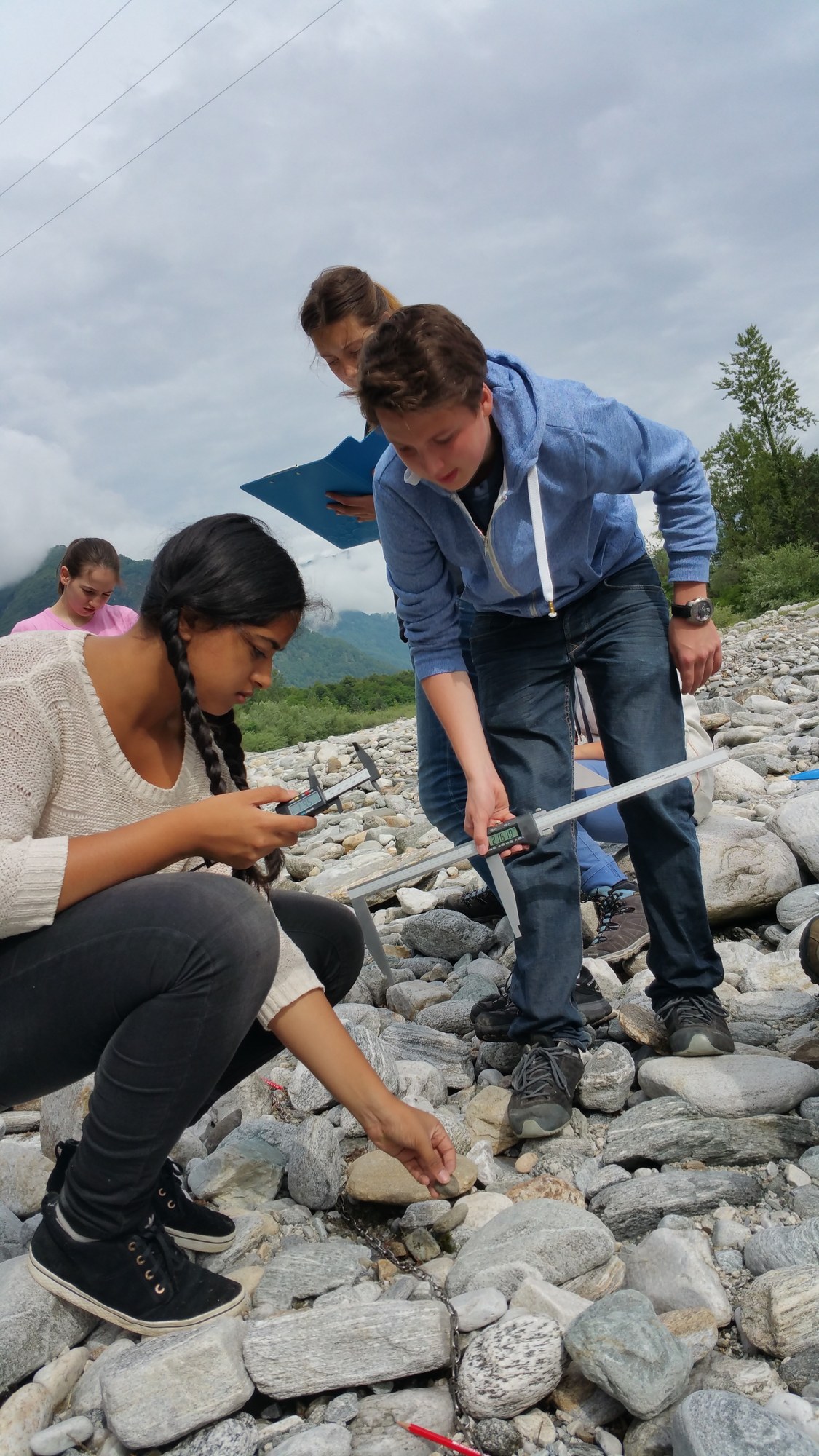
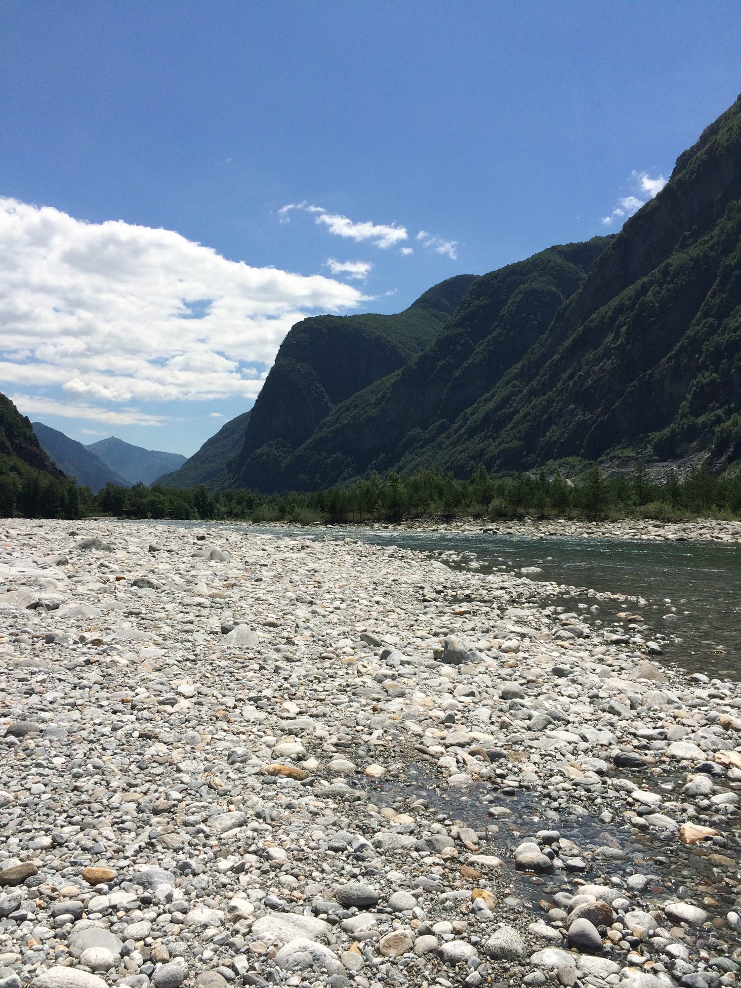
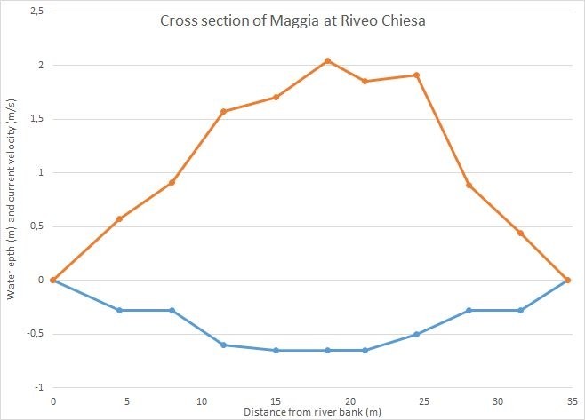
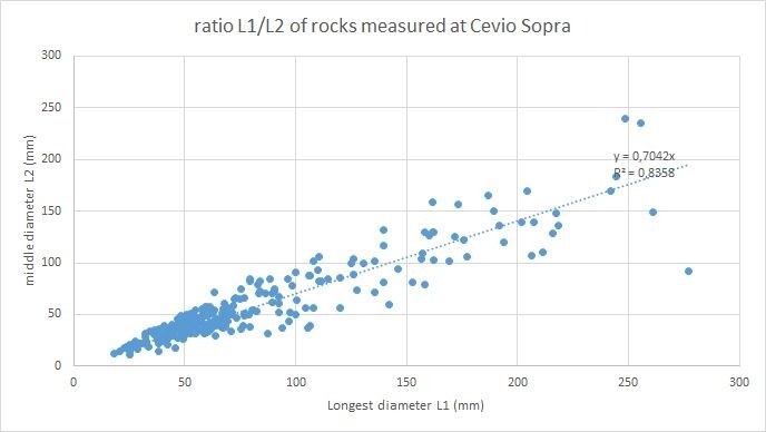
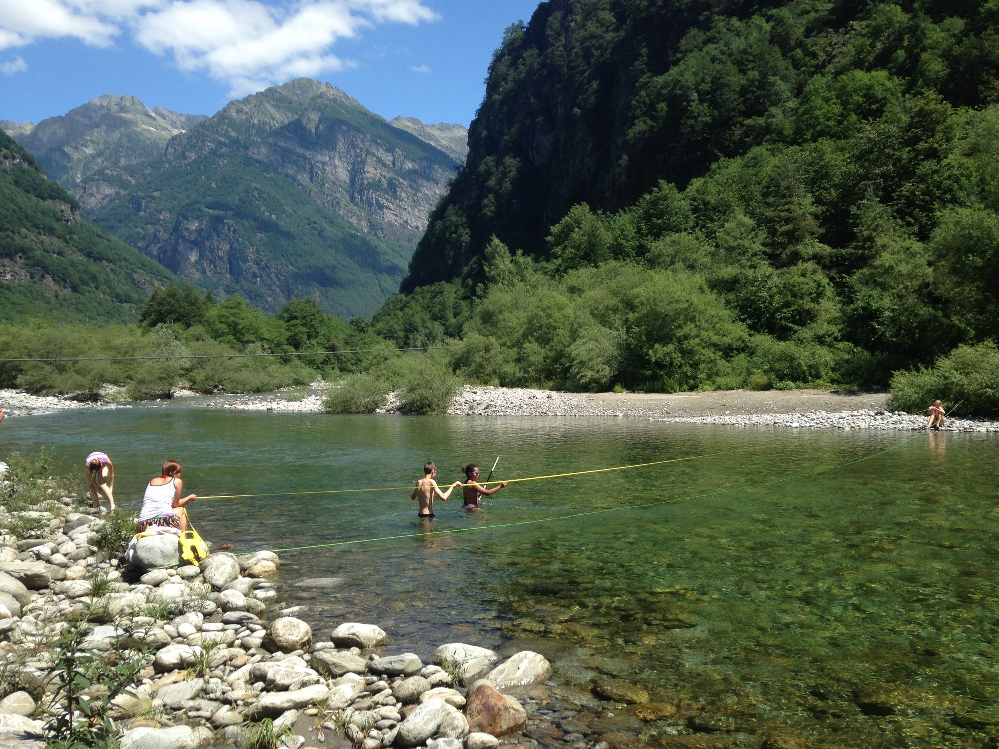
The IB geography class went to the Maggia Valley (Ticino, CH) from the 14th to the 19th of June 2015 to do some fieldwork necessary for our research papers. We looked at the downstream changes in the Maggia River and its sediments in 9 sites between Bignasco and Gordevio. The dimensions of boulders sized from 1cm do 50cm maximum diameter next to the river bed were measured; Transects of the river were taken measuring width and depth of the river at several points as well as the water velocity and the wetted perimeter. We will use this data for our IB geography paper.
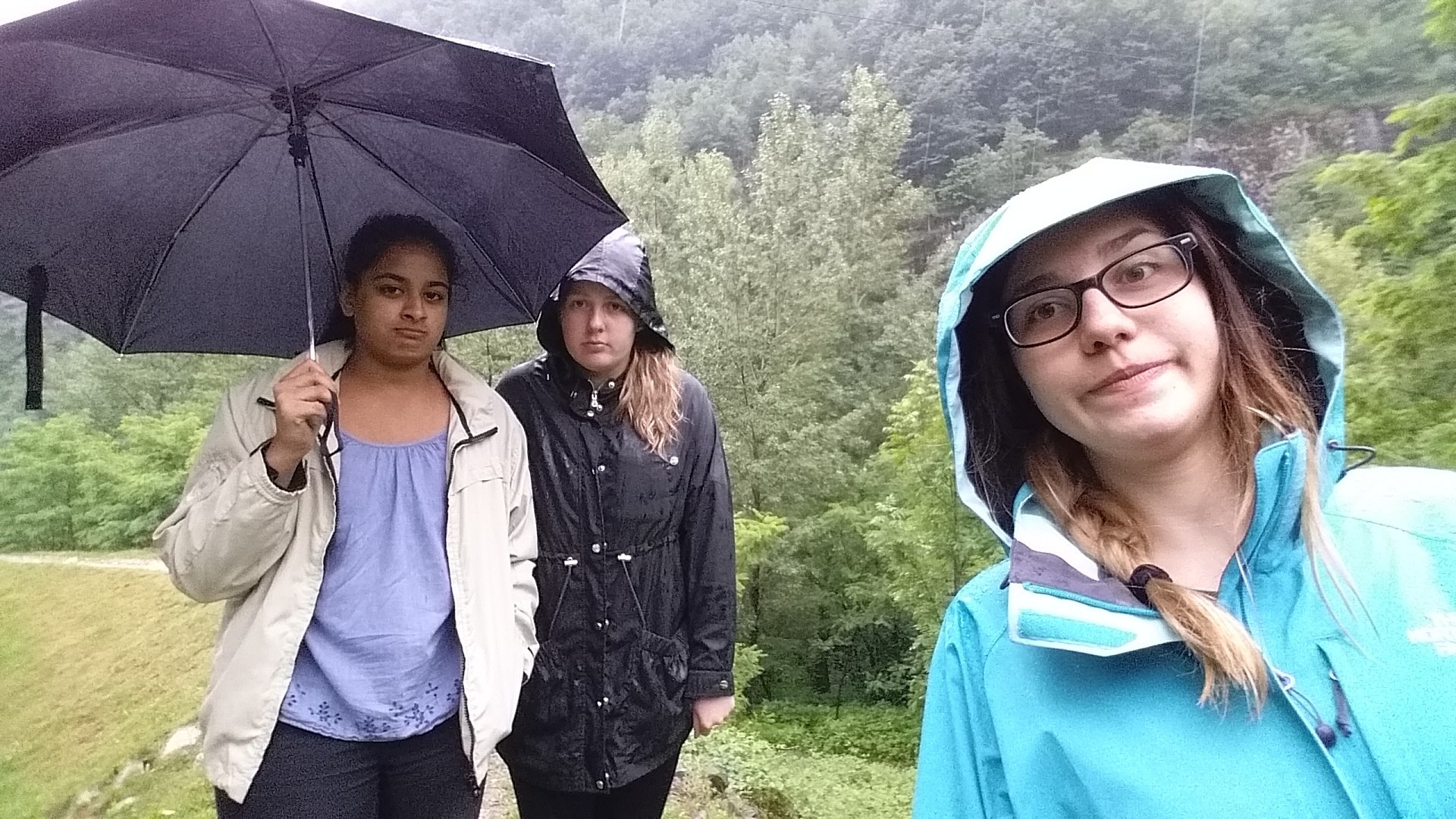
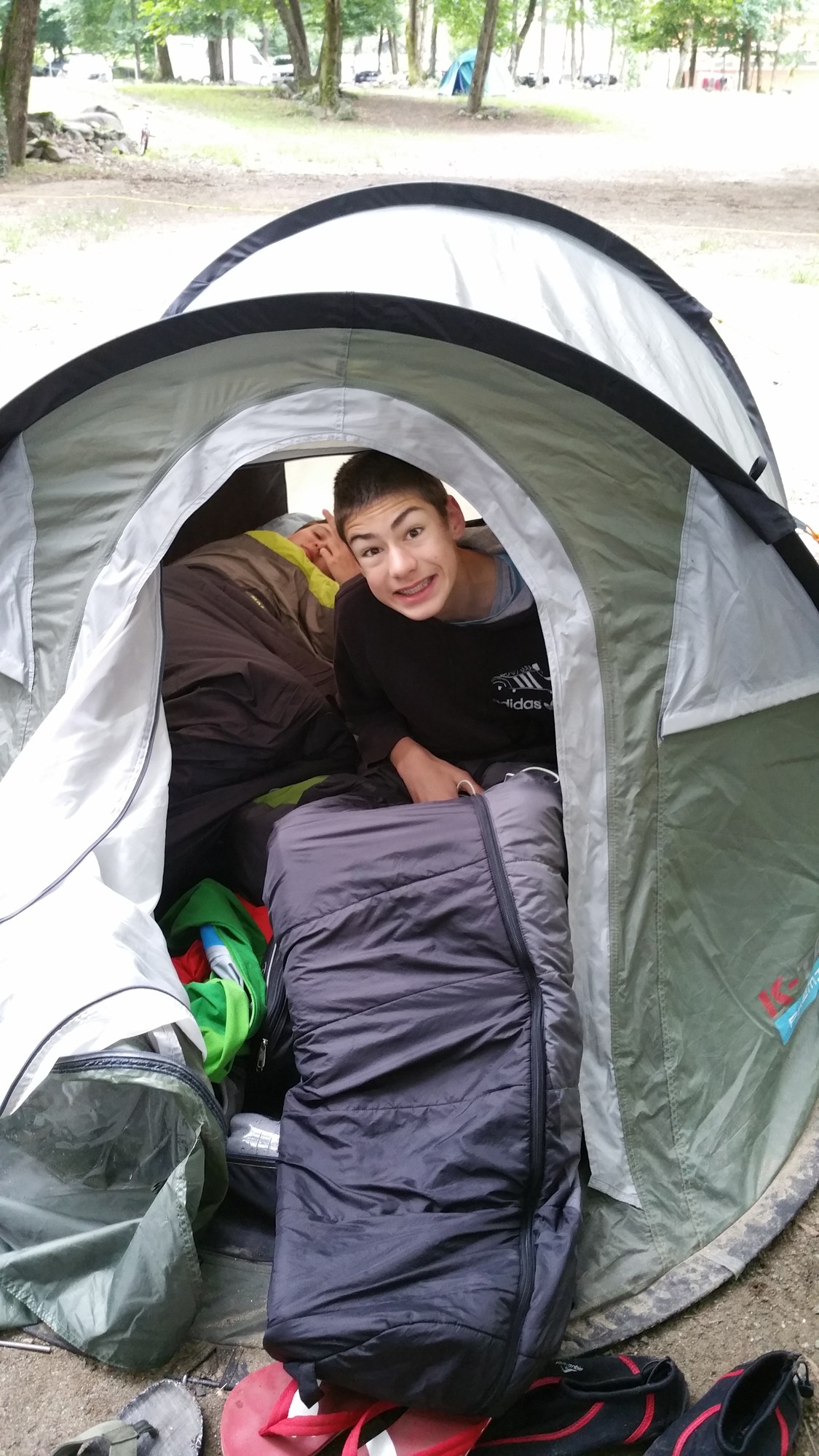
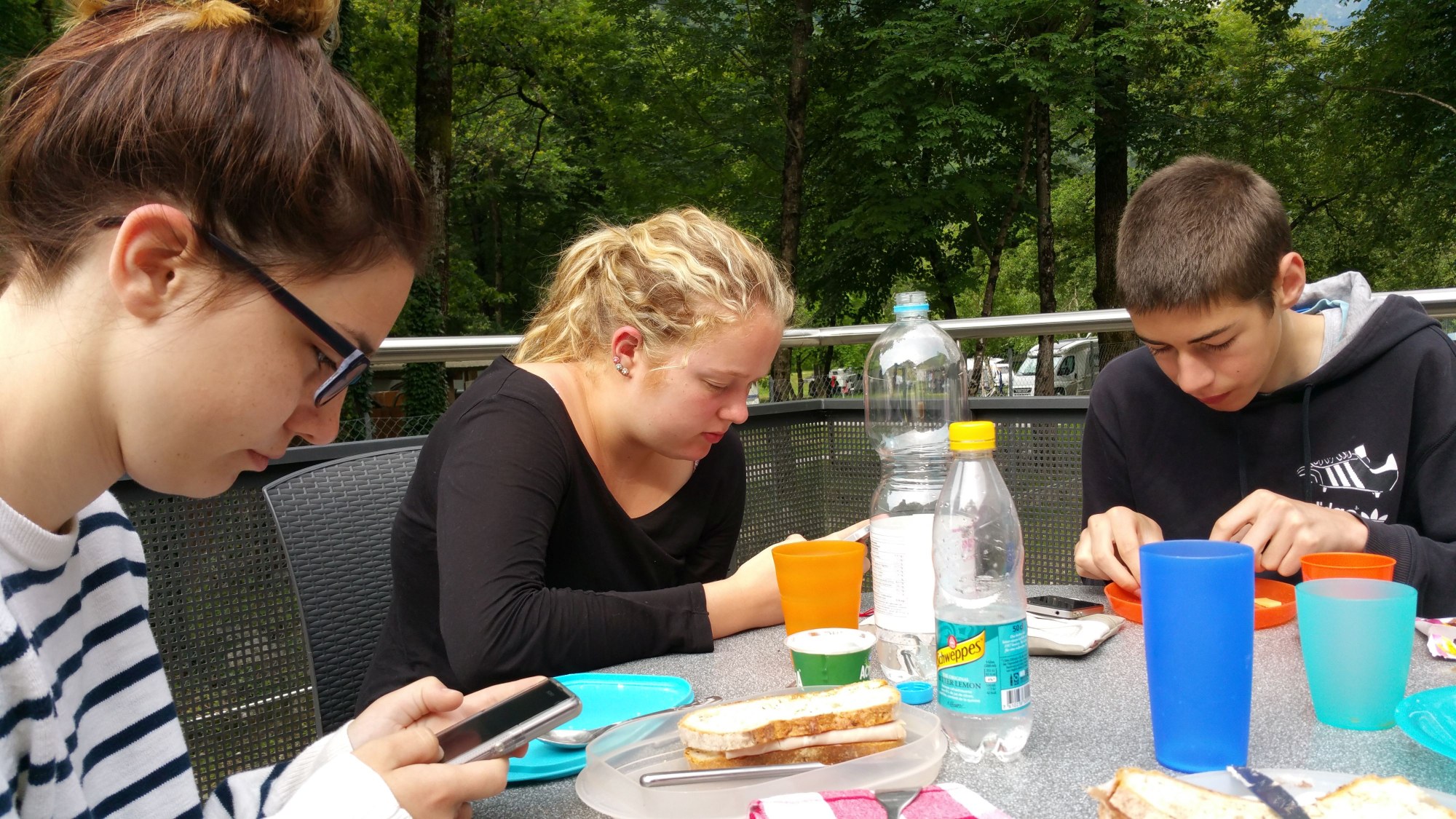
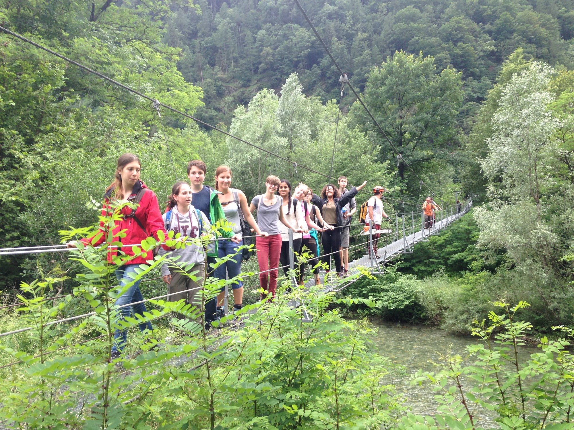
When we first arrived on Sunday we had to build up our tents in the pouring rain. In the evening we ate delicious pizza at the Pizzeria next to the camping site. On Monday and Tuesday we measured about 2'700 stones at 9 different sites. Although the rain interrupted us several times we kept going stubbornly. On Wednesday it was really sunny so we could do all the measurements in the river itself. At the first station the water was really cold but towards the afternoon it got very hot so it was very refreshing. At the locations with a relatively high water velocity it was quite tricky because the computer which measured the velocity had to stay dry. It was a long day because we had to get through all the stations in one day. We measured from 9am until 8:30 pm. Finally we ended up with loosing 5 water shoes and one pair of sunglasses but we had all our data. After three days of hard work we had a well-earned day off on Thursday. We slept in, enjoyed the sunny weather and tanned at the Maggia and the campsite pool. We climbed the rocks at the board of the Maggia and jumped into the river.
In the evening we did a big barbecue and grilled marshmallows. On Friday we had to get up very early to pack up everything and catch the bus and train back to Basel.
These days were very interesting and we made some unforgettable experiences. We think that it will be a lot easier to write the paper because we collected all the data by ourselves.
We want to thank Mr. Gonzalez for the organization of this first IB Geography camp and Mrs. Eder who had a lot of patience with us.
Jana B. & Malena G. 3A